DAY 01: CUSCO – CACHORA – CAPULIYOC – MARAMPATA
Our experience begins early in the city of Cusco in a tourist transport to take us to the town of Cachora and a little further is Capuliyoc (2800 masl / 9186 feet), located on the edge of the Apurímac canyon. Here we will have the first views of the beautiful Valley surrounded by impressive snow-capped mountains. After lunch we start the walk towards Chiquisca (1950 masl / 6435 feet) and we will ascend to Marampata (2870 masl / 9416 feet) which will be our campsite today.
- Walking duration: 07 hrs / 15 km
- Accommodation: Camp
- Difficulty: Average
- Maximum altitude: 2870 masl / 9416 feet
- Camp altitude: 2870 masl / 9416 feet
DAY 02: MARAMPATA – CHOQUEQUIRAO – MARAMPATA
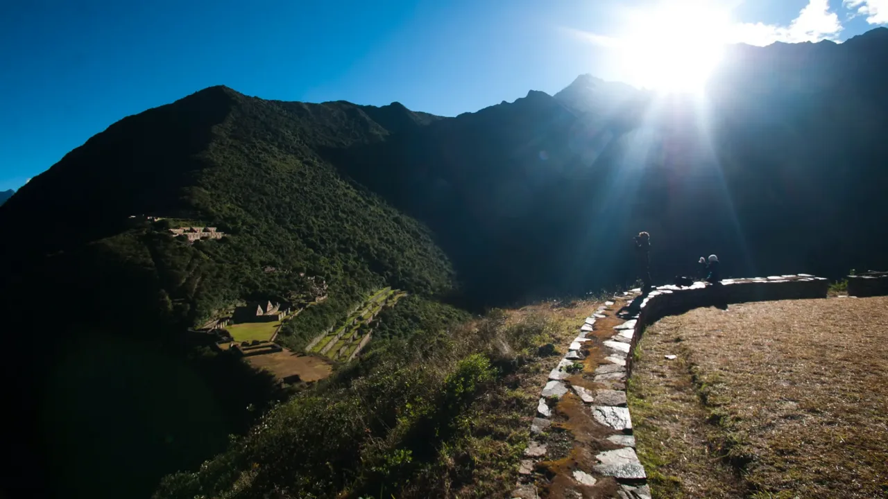
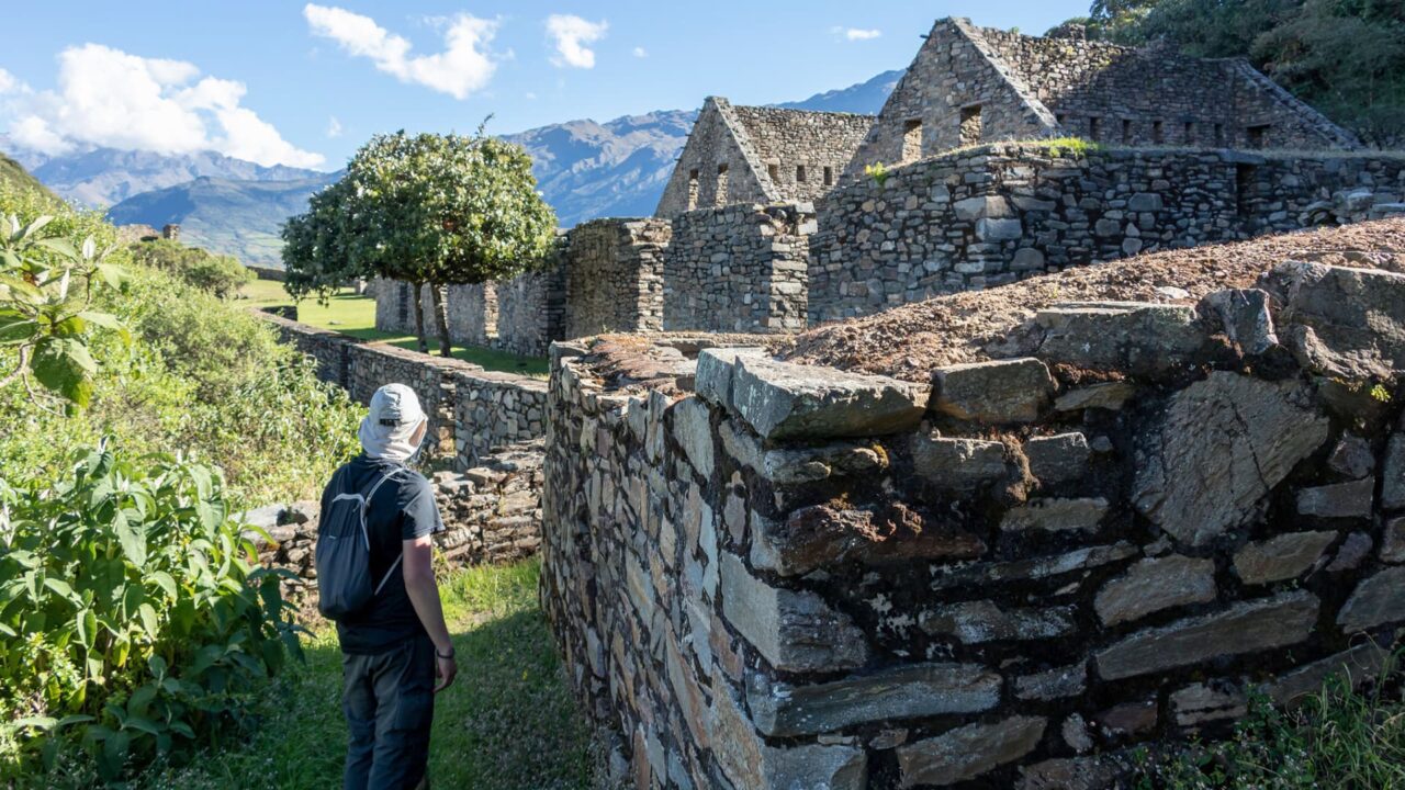
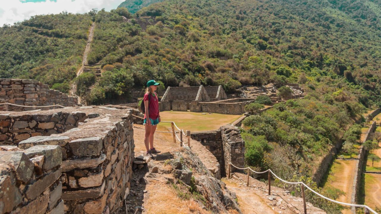
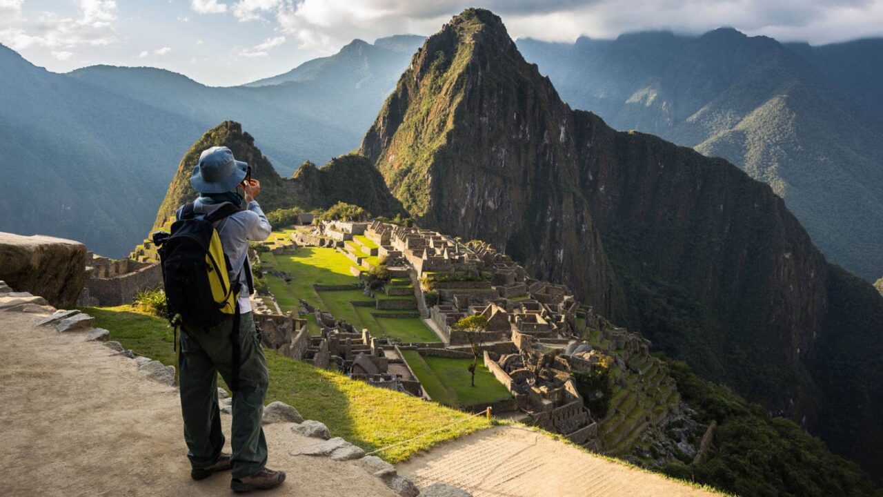
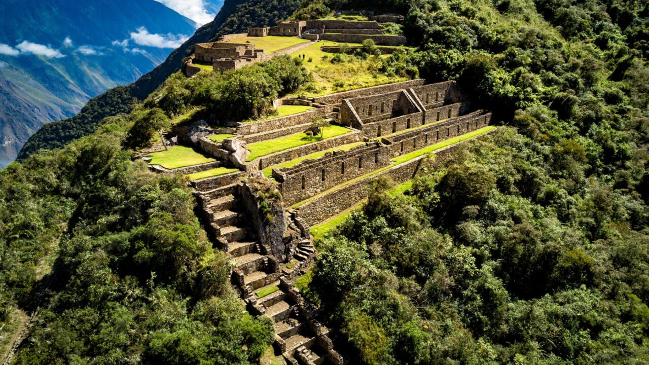
In the morning after breakfast we begin with the ascent to reach the archaeological center of Choquequirao (3110 masl / 10 120 feet), here we will have a panoramic view that we will undoubtedly enjoy 100%. After some free time we begin with the return to our camp where a delicious lunch awaits us and the afternoon free, and at night we will also enjoy dinner.
- Walking duration: 06 hrs / 8 km
- Accommodation: Camp
- Difficulty: Hard
- Maximum altitude: 3110 masl / 10 120 feet
- Camp altitude: 2870 masl / 9416 feet
DAY 03: MARAMPATA – SANTA ROSA – CHIQUISCA
When we wake up our delicious breakfast awaits us, then we continue the trail to reach Playa Rosalinas (1475 masl / 4839 feet) then we begin with the descent to the Apurímac River that will allow us to reach Chiquisca where lunch awaits us. We will enjoy the afternoon free to rest and relax.
- Walking duration: 05 hrs / 7 km
- Accommodation: Camp
- Difficulty: Hard
- Maximum altitude: 1950 masl / 6435 feet
- Camp altitude: 1950 masl / 6435 feet
DAY 04: CHIQUISCA – CAPULIYOC – CUSCO
In the morning we start with the ascent to our last control point, a slope of at least 4 hours which makes it quite challenging. We will enjoy our last lunch with the team and then we proceed to say goodbye, board our transport and finally return to Cusco.
- Walking duration: 05 hrs / 8 km
- Difficulty: Average
- Maximum altitude: 2800 masl / 9186 feet